Natural Wonder of Northwest Nebraska
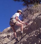
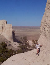
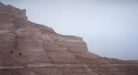
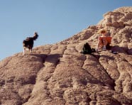
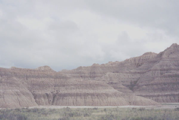
Toadstool Park is in a region of badlands formed on the flank of the Pine Ridge Escarpment near Crawford, NE. The landscapes offer stunning vistas of rugged badlands and the vast plains of North America's interior. Immensely valuable fossil deposits are contained in the sediments that comprise these landscapes. They are the object of ongoing research projects by Chadron State College scientists, Dr. Mike Leite and former CSC student, Dr. Joe Corsini, in cooperation with the U.S. Forest Service.
Geology of Toadstool Park
Toadstools and Paleorivers
Evidence of paleorivers, or "ancient rivers" can be seen Toadstool Park. It is thanks to these rivers that the unique "toadstools" exist which give the park its name.
Wherever you see sandstone in Toadstool Park you can know that an ancient river once flowed there. Fast flowing rivers from the Rockies to the west and the Black Hills to north flowed through this area and deposited coarse-grained sand which was cemented into sandstone over time.
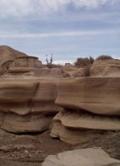
While sand was accumulating in the river bed, silt was slowly being deposited in the river's flood-plain. This silt, over time, became siltstone. The river, over hundreds of thousands of years, changed course many times and left alternating layers of sandstone and siltstone.
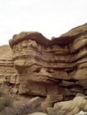
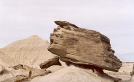
Roughly 10 million years ago, this region was lifted higher and the climate became drier. All the layers that had been built up over millions of years, began to wear away. This process continues today. The hard sandstone is more resistant to the forces of erosion than the softer siltstone. It often forms a protective "cap" over a "stem" of siltstone below, forming a "toadstool." These toadstools are just brief snapshots in the ongoing movie of geology. The park's most famous toadstools recently collapsed during a violent storm. Others are being formed.

Sedimentology
Sedimentary rocks are formed in what geologists term depositional environments. Most depositional environments involve transport and laying down of material (rocks, dirt, minerals, volcanic ash, and biological matter such as leaves or animals) by the action of either wind or water. This deposited material is called sediment, and the process of laying down the sediments is called sedimentation. The sediments accumulate in layers whose composition is determined by the source of the deposited material. Over time, thick layers of sediment accumulate and turn into sedimantary rocks such as sandstone, mudstone, and limestone.
Fossils are preserved during the formation of sedimentary rocks. In general, the process of fossilization involves burial of an animal by water or wind borne material. The soft tissues decay, leaving the hard bone which is eventually either replaced, or added to, by local minerals.
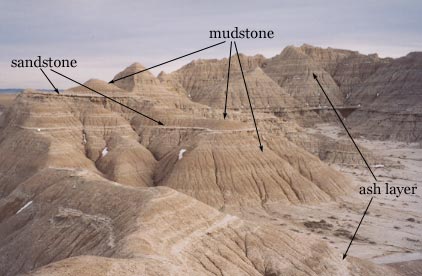
Although the variations between the layers of sediments can be very subtle, a geologist who is familiar with the area can easily distinguish them and tell the story of a time 30 - 40 million years ago.
Stratigraphy
Stratigraphy is the science of naming and relating the layers of rock that form the earth's crust. You might compare it to the study of geography and geographical place names. Continents are divided into countries, countries into states or provinces, states into counties, etc.
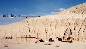
The rock layers of the earth's crust are classified in a similar way. A "group" is made up of "formations," and formations are comprised of "members." Found within the members are volcanic ashbeds that can be dated using mass spectrometry. When fossils are discovered, their distance from the nearest ash layer is noted and their approximate age can be determined.
- In this diagram, a composite chart of the stratigraphy of the Toadstool park area has been superimposed over a photograph taken near the park's campground.
- Around 10 million years ago, sedimentation ceased and erosion began in this location.
- Since that time, roughly 150 meters of sediment has been completely eroded away.
- The "brown siltstone," the Whitney, and most of the Orella members of the Brule formation are gone. The Chadron formation is partially exposed. The Chamberlain Pass formation (CP) and the Lower purplish white ash layer have not yet been exposed here.
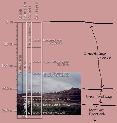
Composite chart adapted from: Terry and LaGarry (1998) Geological Society of America Paper #325 p. 117-141
Search for Ancient Life
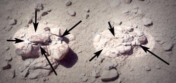
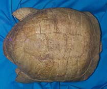
Fossil Turtles
Choose and image in the gallery below to find out more about that image or choose the first image and scroll through them all for a brief lesson
Fossil Mammals
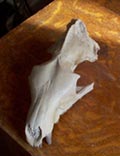
Mammal fossils are very common at Toadstool Park. Entombed in the 30 million year old mud and siltstone are ancient camels, pigs, rhinos, deer, rabbits, pig-like creatures, predatory cats, and many others.
Choose and image in the gallery below to find out more about that image or choose the first image and scroll through them all for a brief lesson
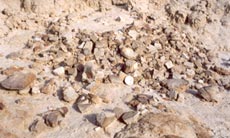
Prospecting
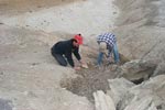
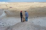
Choose and image in the gallery below to find out more about that image or choose the first image and scroll through them all for a brief lesson
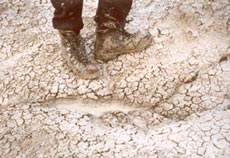
Data Collection
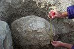
When a fossil is found, information about that fossil needs to be collected. A paleontologist does not just collect fossils, she is collecting stories. She wants to answer the question, "What happened here?" If a fossil is removed from its environment without first carefully collecting data, and then handed to paleontologist in her laboratory, it is nearly useless to her. She probably already has examples of that animal in her collection. Had the fossil been left in the ground, she might have been able to answer questions like, "When did it live," "How did it die," and "What was the weather like at that time?"
Choose and image in the gallery below to find out more about that image or choose the first image and scroll through them all for a brief lesson
Excavation
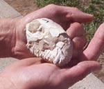
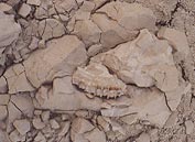
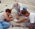
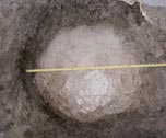
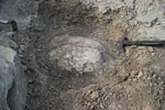
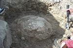
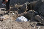
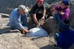
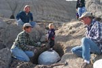
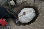
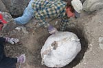
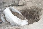
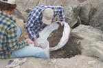
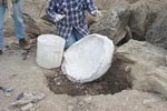
We have collected data on over 200 turtle fossils at Toadstool Park. Many of these will be excavated in order to study them in the laboratory.
Choose and image in the gallery below to find out more about that image or choose the first image and scroll through them all for a brief lesson
Area Map and Links
Northwest Nebraska is rich in scenic beauty, natural history and old west culture

Directions to Toadstool Park from Crawford, Nebraska.
- North on Hwy 71 4.6 miles to Toadstool Road #904
- West 1.9 miles, then north-west 9.7 miles on #904 to Road #902
- West on #902 1.2 miles to park and campground
Credits and Contacts
Funding for production of this site was provided by Nebraska's EPSCOR grant (2002/2003) from the National Science Foundation.
For more information about the ongoing research at Toadstool Park contact: Mike Leite Tel. (308) 432-6377

